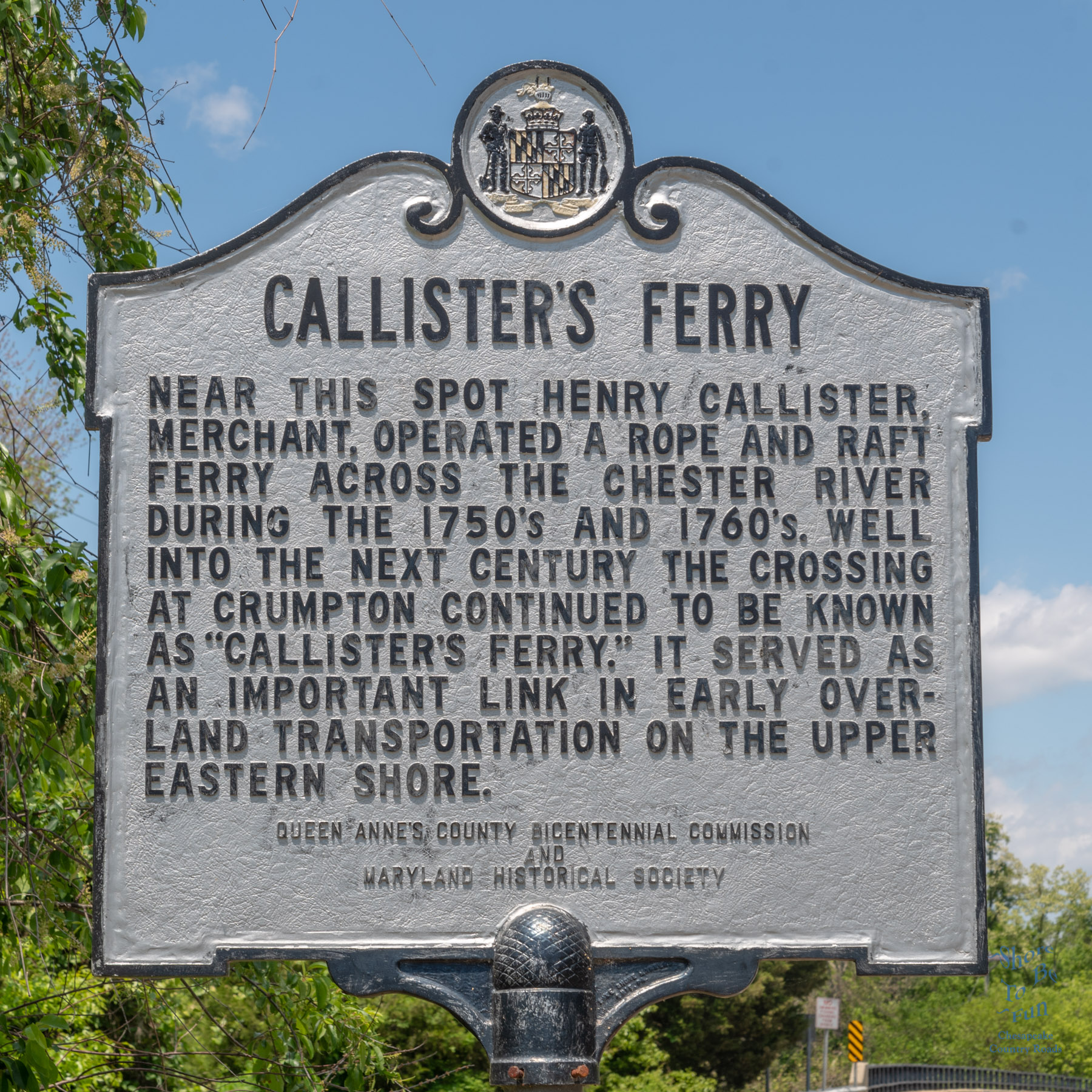

Inscription:
“Near this spot Henry Callister, Merchant, operated a rope and raft ferry across the Chester River during the 1750’s and 1760’s. Well into the next century the crossing at Crumpton continued to be known as “Callister’s Ferry.” It served as an important link in early overland transportation on the upper Eastern Shore.”
Erected by Queen Anne’s County Bicentennial Commission and Maryland Historical Society and is located in Crumpton, Maryland, Queen Anne’s County on Crumpton Road (Maryland Route 290).
Crumpton location on the Chester River is at a point that colonial ships, and in the late 19th century, that the river was still deep enough for ships to travel up river and it was able to grow as a river port. In 1857 A bridge replaced the the ferry. And as other river towns Crumpton languished when it was bypassed by the railroad in the late 1800s.
Along the roads in Maryland there are roadside historical markers. Hundreds on Maryland Eastern Shore. The program was launched in 1933 and is currently administered by the Maryland Historical Trust (MHT) in cooperation with the Maryland State Highway Administration (SHA).These roadside historical markers are an effective way to draw attention to the many events, people and places that have contributed to the history of Maryland and the nation.
Often we will pass these signs at a speed that makes them hard to read. I will be posting one of these Highway Historical Markers each Tuesday Morning. Please come by to read them and learn a little about the remarkable people, places and events throughout the region.


I love history and this is relay interesting