
A few years ago I did a series of articles on Harriet Tubman Byway . While traveling along the trail I discovered that the Choptank River was an important part of the journey from force servitude to freedom and played a huge part in the Underground Railroad.
From colonial times until the railroads came, rivers were the the primary means of transporting goods and people. Roads were often rough and during rain storms muddy. They just couldn’t take the the burden of large loads.
The nearly 75 mile river is the longest on Maryland’s Eastern Shore with its headwaters beginning in Delaware. The river still flows through a diverse natural landscape, not that much different than it was in the early 19th century.

The river’s depth in places are as much as 30 to 50 feet. And as seen in this photo, taken at the Dover Bridge, the river’s shores at times are marshy.

Towns sprung up along the river shores. Some of them, Cambridge, Denton and Greensboro remain, but many others are just a shadow from the past. One of those locations is Gilpin Point. Vessels were use to transport slaves, sometimes even to smuggle them to freedom.

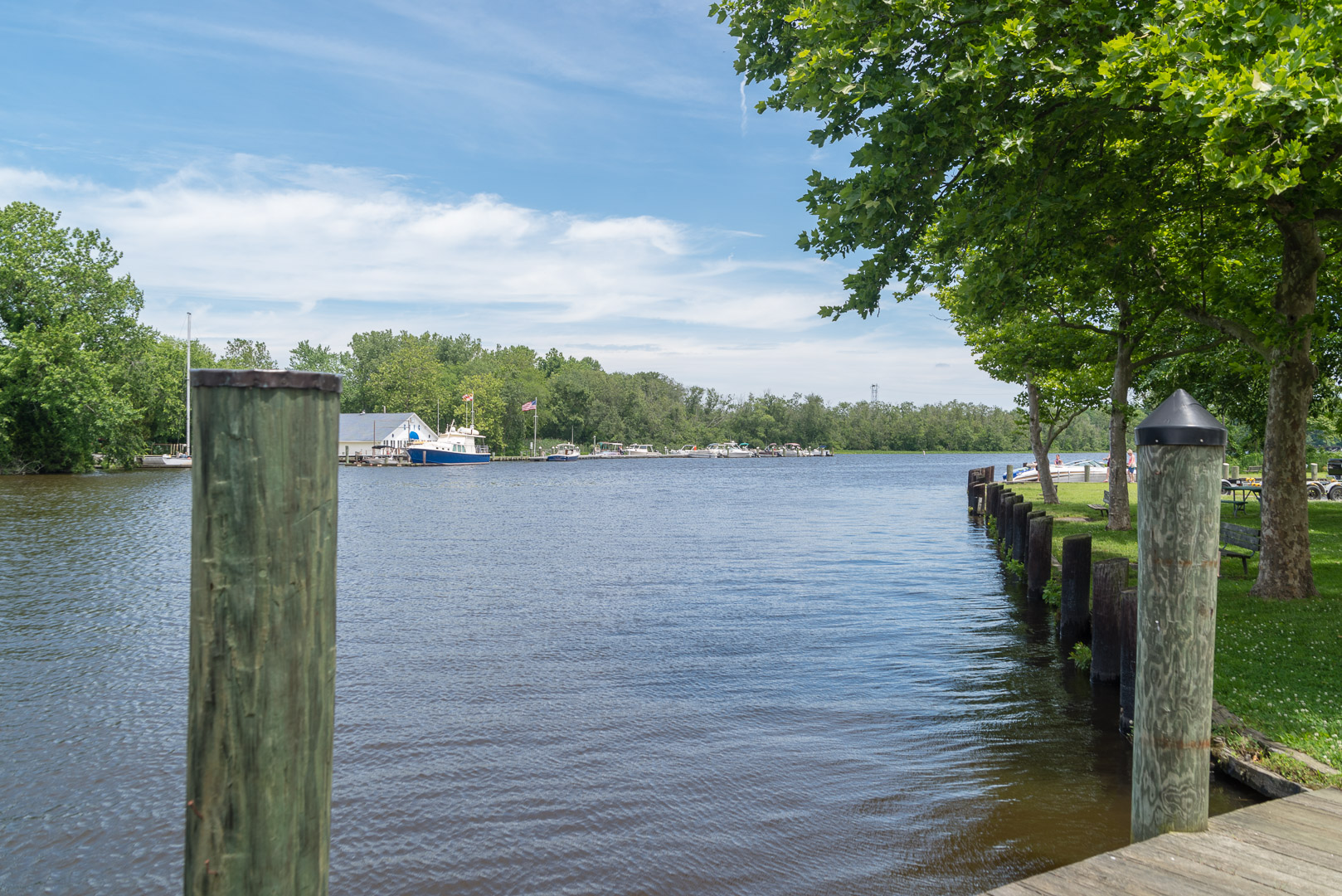
Even though Martinak State Park, located just south of Denton, is not on the official Harriet Tubman Byway, it’s not hard to imagine that those traveling the underground railroad would hide in locations like this along the river and creeks. This photo is Watts Creek.

The Wharf in Denton.

There weren’t many bridge crossings of rivers in the 19th Century, the last on the Choptank River was in Greensboro. While slaves seeking freedom did use bridge crossings they often avoided these crossing since the dangers of being captured were higher. A few miles north of the Greensboro bridge the Choptank narrowed and shallow enough to wade across at Red Bridges/Christian Park. Just a few miles east of the river they could cross the Mason/Dixon line into Delaware.


