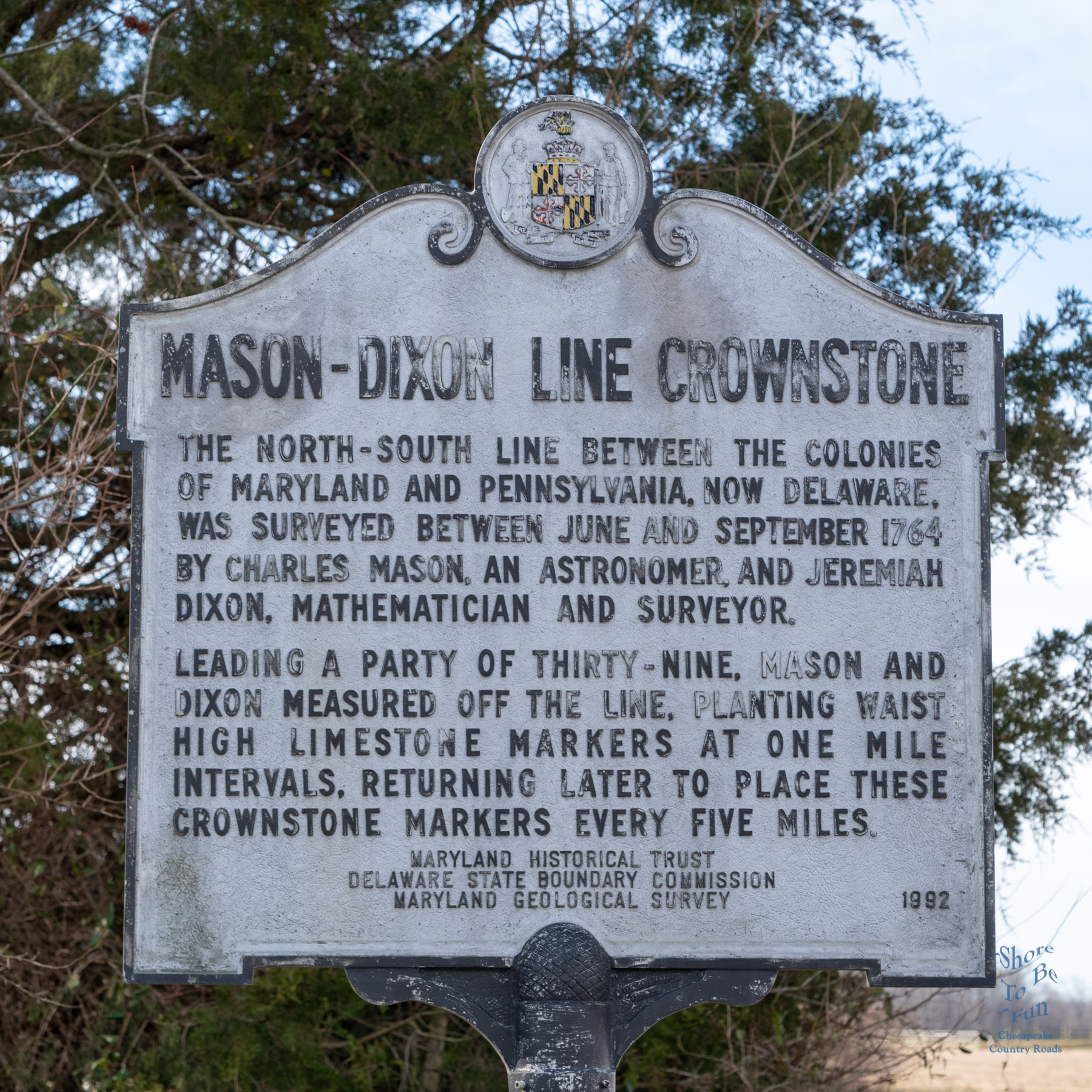

Inscription.
“Mason Dixon Cornerstone
The North-South line between the colonies of Maryland and Pennsylvania, now Delaware, was surveyed between June and September 1764 by Charles Mason, an astronomer, and Jeremiah Dixon, a mathematician and surveyor.
Leading a party of thirty-nine, Mason and Dixon measured off the line, planting waist high limestone markers at one mile intervals, returning later to place these crownstone markers every five miles.”
Erected 1992 by Maryland Historical Trust, Delaware State Boundary Commission, Maryland Geological Survey.
Marker is near Millington, Maryland, on right-hand side of Maryland Route 291 just before crossing the Maryland-Delaware state line. Marker is easy to miss as it is facing the road.

Along the roads in Maryland there are roadside historical markers. Hundreds on Maryland Eastern Shore. The program was launched in 1933 and is currently administered by the Maryland Historical Trust (MHT) in cooperation with the Maryland State Highway Administration (SHA).These roadside historical markers are an effective way to draw attention to the many events, people and places that have contributed to the history of Maryland and the nation.
Often we will pass these signs at a speed that makes them hard to read. I will be posting one of these Highway Historical Markers each Tuesday Morning. Please come by to read read them and learn a little about the remarkable people, places and events throughout the region.
Why am I doing “Marker Tuesday” and the the often seen “Marker Monday”? No reason other than be different. Enjoy.


